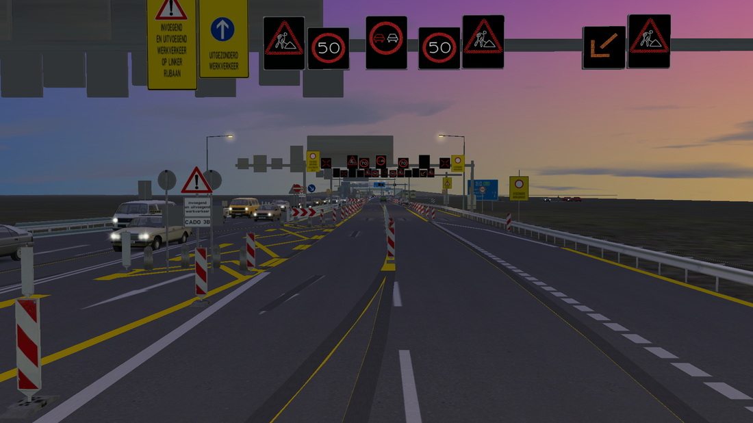
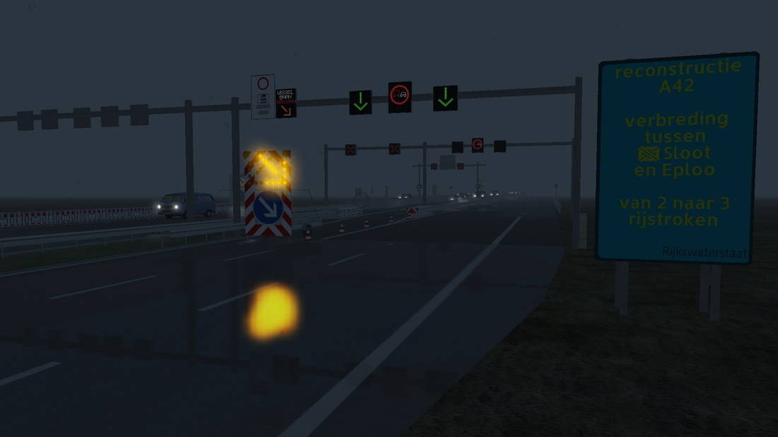
Finisehed and connected freeway A42:
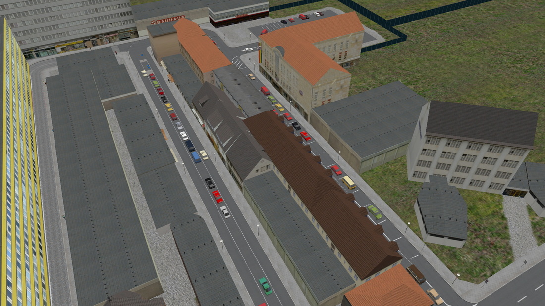
Finished building Eploo:
|
|
|
|
Finisehed and connected freeway A42:
Finished building Eploo:
0 Comments
All these self-made repainted traffic-signs will be included in the Amerdam map: 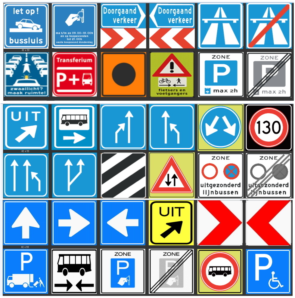 Parts A and B (the abovbe 4 rows) are allready released (see download page). Part C will be released as a seperate download, after the release of the map.
Finally some news, have been working on this for some time now: 12 may 2013: 0.0.15: Build most of the newly added freeway A42, with two busstops and a big junction. The new freeway A42: 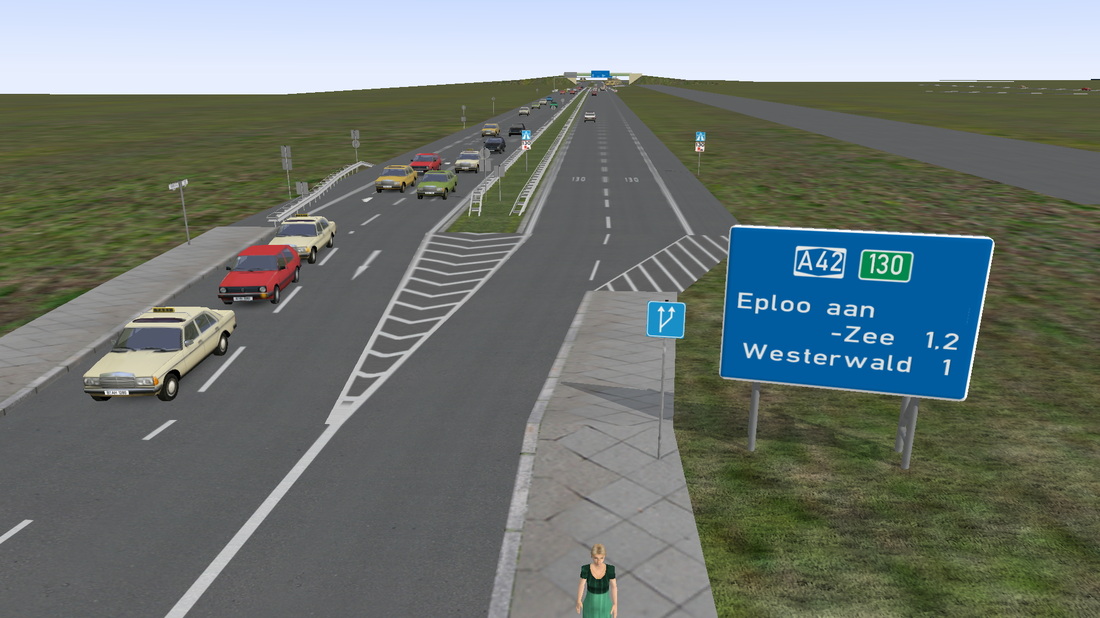 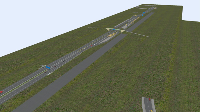 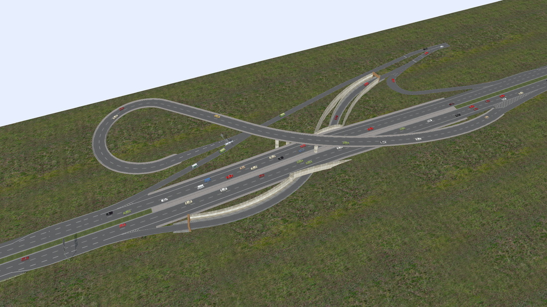 Which has 2 busstops (one on either side): 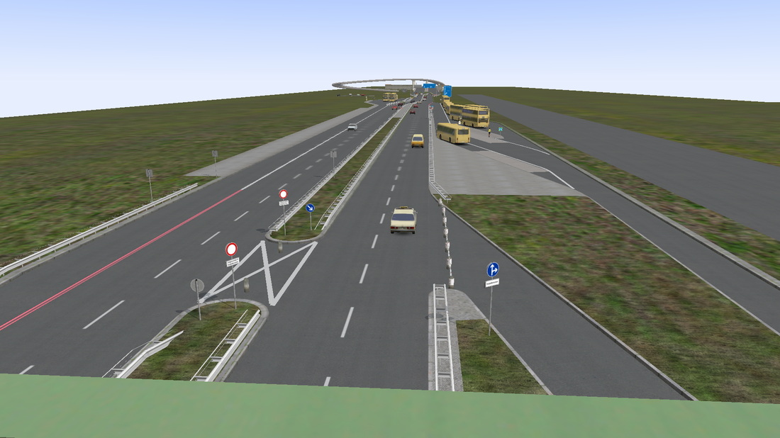 Map v 0.8 (12-05-2013): Purple streets are being build... 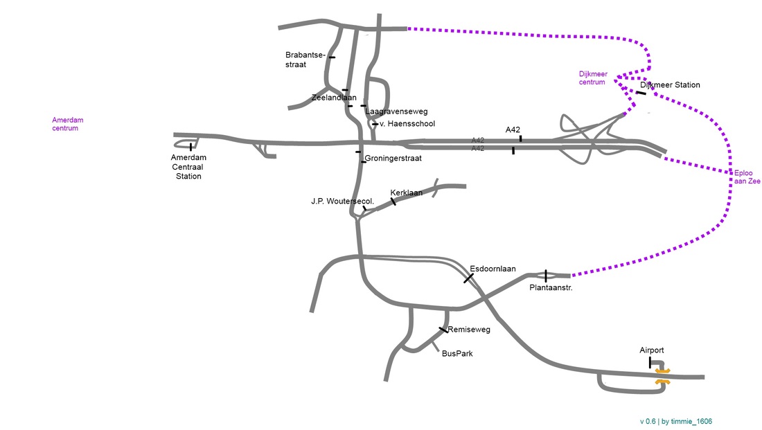 Streetmap: 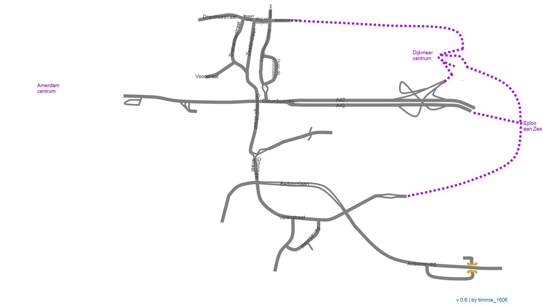 Tilecount: 04-sep-2012: 8 tiles 12-may-2012: 26 tiles Also, some other news; with the map will come available: A full schedule for all lines, which will look something like this: 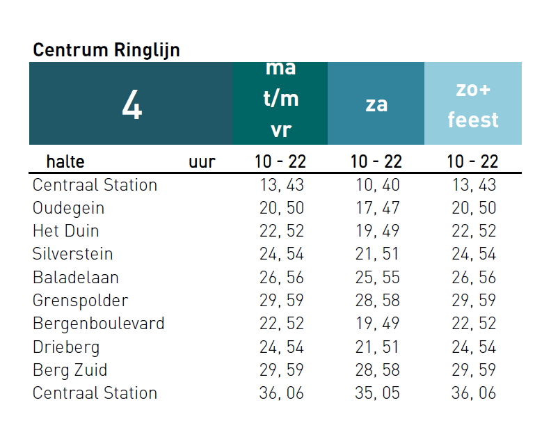 A list of departuretimes for all non-school lines on busy stops (like Amerdam Station, Airport and Dijkmeer Station), which will look something like this: 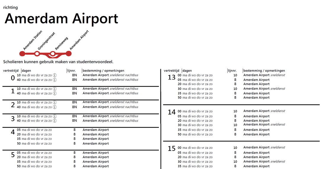 Also, the list of needed objects/splines is updated (some corrected links +2 links added).
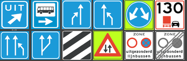 Added new selfmade dutch trafficsigns to the Amerdam map.
You can also download this in the download section. Build more roads (including highway). New map and screenshots soon.
The last months I've been testing several busses, to see which one I want on my maps.
Also I've been rather busy with other things, eg. my other site about my sketchup projects. Build all streets at 'Tuindorp' and 'Hoograven' area.
Decoration: 4 busstops, some traffic signs, three speed bumps, no buildings yet. (new map) Edited Airport area, so peds can now walk into an entrence from the busstation. (screenshot)
Also added 'airport-like' buildings. Put priority signs on every junction Build "centraal station" (central busstation). (screenshot)
Build some main roads. Added trafficlights and signs on all build roads.
Uploaded new map. |
